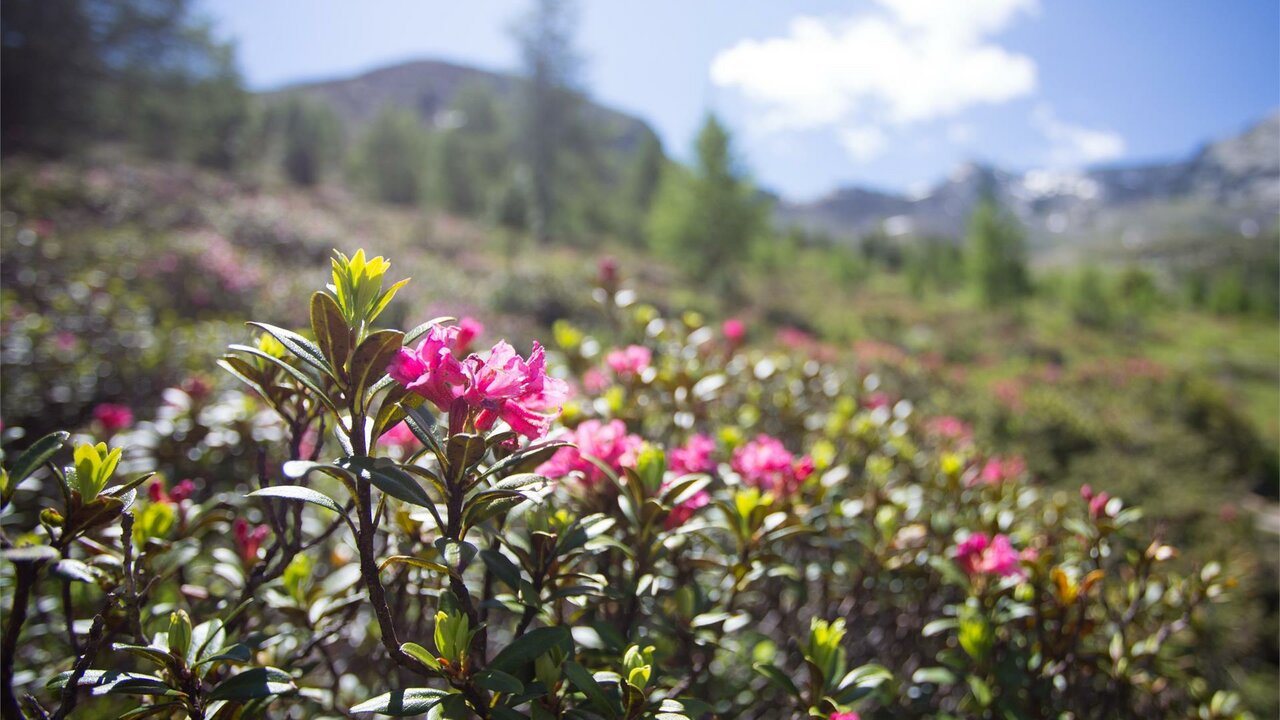
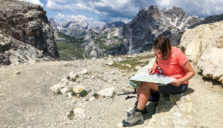
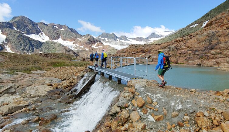
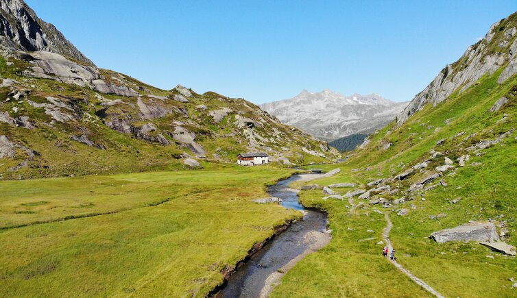
Crossing of the Spronser Lakes
This event already took place.
This event already took place.
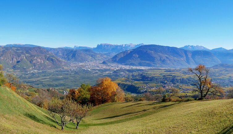
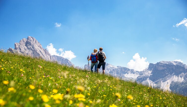
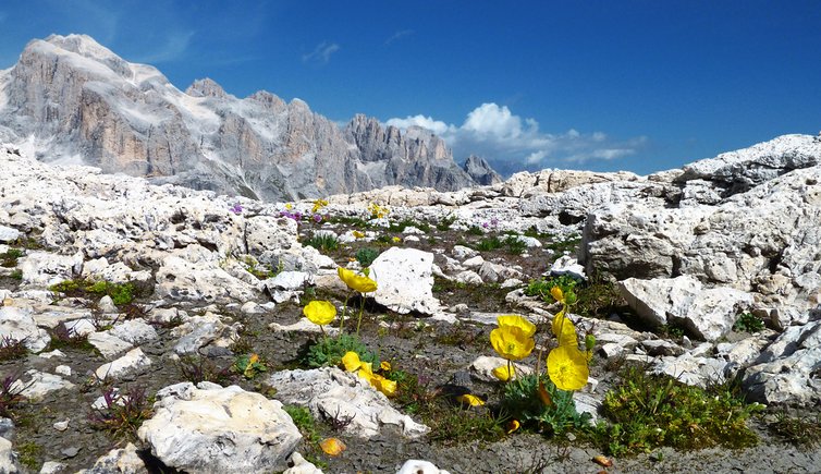
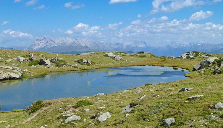
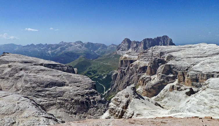
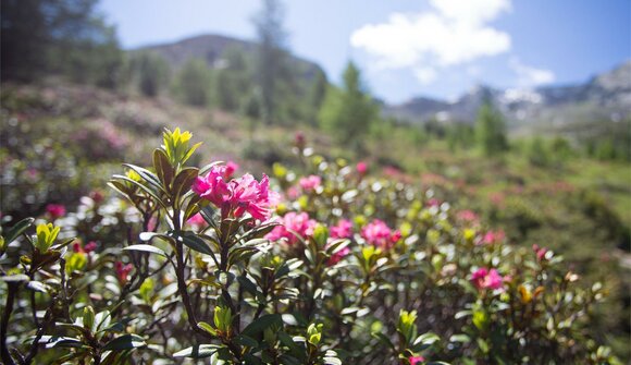
Hike to South Tyrol's largest mountain lake landscape in an incredibly fascinating and unique mountain world.
We take the public bus to Pfelders/Plan. Our hike begins in the idyllic mountain village of Pfelders/Plan. With hiking guide Heinrich we hike along trail no. 6 to the Faltschnalalm and on to the Faltschnaljöchl and the Spronser Joch (2,581 m). From here we have a breathtaking view of the 3,000-metre peaks of the Texel Group as well as the lakes of Sprons. The descent takes us to the Oberkaser and further along trail no. 22 over the Mutkopf to the mountain station of the Hochmuth cable car. The cable car takes us back to the valley and from there we take the bus back to the starting point.
Hiking time: ca. 7 h | Altitude difference: ascent ca. 960 m, descent ca. 1,230 m
Bus stop
Tourist Office Passeiertal Valley
+39 0473 656188
This event requires registration:
Tourist Office Passeiertal Valley, +39 0473 656188
Despite our efforts in verifying data we do not assume any responsibility for the correctness of information and the effective ralisation of events listed in our calendar. In order to verify single events, please contact the organisers.
Add Peer.today to your home screen to stay up-to-date on available events.