Guided hike: Malga Ebenberg
Tuesday 04 Aug
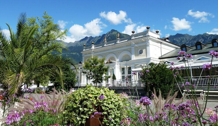
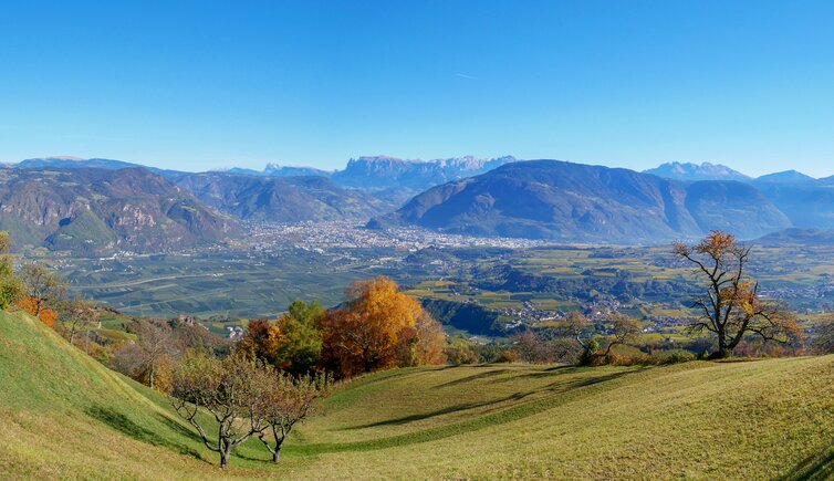
Lana
09:00 - 17:00
Reservation required
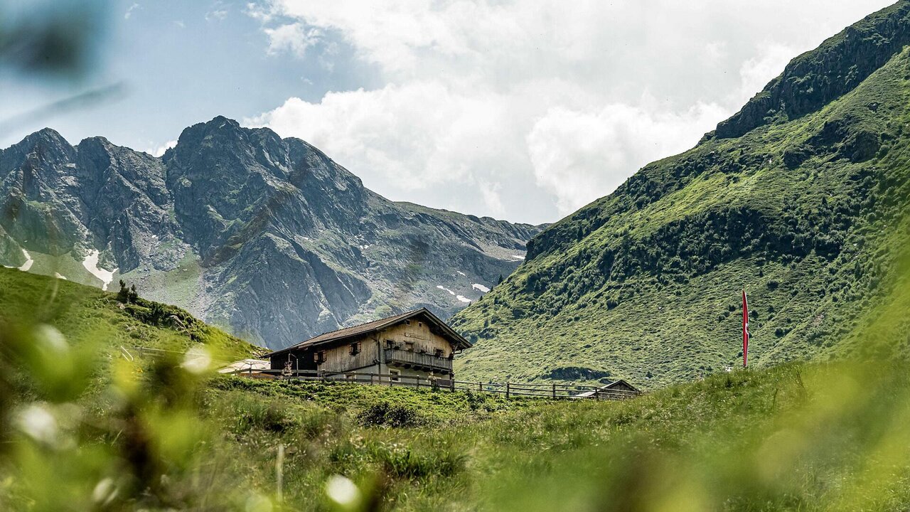
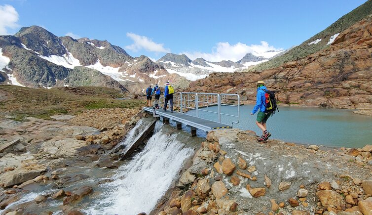
From Riobianco in the upper Val Sarentino (1,330 m), we hike north along trail markers 9/27 on a narrow asphalt road to the Winkhöfe (1,442 m). From there, we continue on a gently ascending gravel path to the first trail junction.
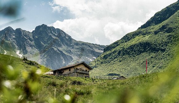
Here, we turn left onto a wide forest track (marker 27) and follow it downstream to the next junction. We turn left again and proceed through the Unterbergtal (marker 27), on a route that is partly flat and partly moderately ascending, until we reach the Malga Ebenberg (1,780 m).
The return follows the same route as the ascent.
Altitude gain: 454 m
Total hiking time: approx. 3.5 hours
Difficulty: easy
Tourist office
Tourist Office Lana and surroundings
+39 0473 561 770
info@lanaregion.it
This event requires registration:
Tourist Office Lana and surroundings, +39 0473 561 770, info@lanaregion.it
Despite our efforts in verifying data we do not assume any responsibility for the correctness of information and the effective ralisation of events listed in our calendar. In order to verify single events, please contact the organisers.
Add Peer.today to your home screen to stay up-to-date on available events.