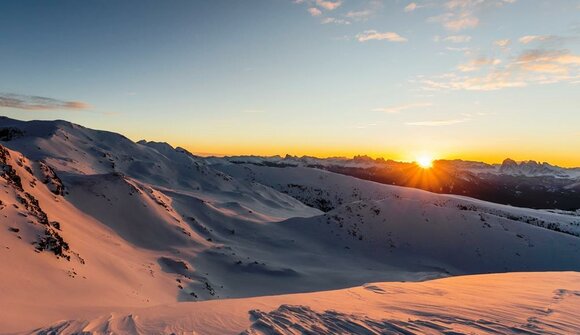
Approach to Stulles. The ascent follows trail no. 14 to the mountain meadows above Stuls (Stuller Mahder), continuing to the Hochalm hut and then along trail no. 26 to the summit. The final meters to the top are secured with a fixed rope to facilitate the ascent. The descent follows a circular route past the Stuller Mut and back to the parking area.
Walking time: approx. 6 h (there & back) | Difference in altitude: 1,067 m
The hike will be in German and Italian.
Meeting point:
Tourist Office
Contact info:
Tourist Office Passeiertal Valley
+39 0473 656188
This event requires registration:
Tourist Office Passeiertal Valley, +39 0473 656188
Useful links:
Despite our efforts in verifying data we do not assume any responsibility for the correctness of information and the effective ralisation of events listed in our calendar. In order to verify single events, please contact the organisers.